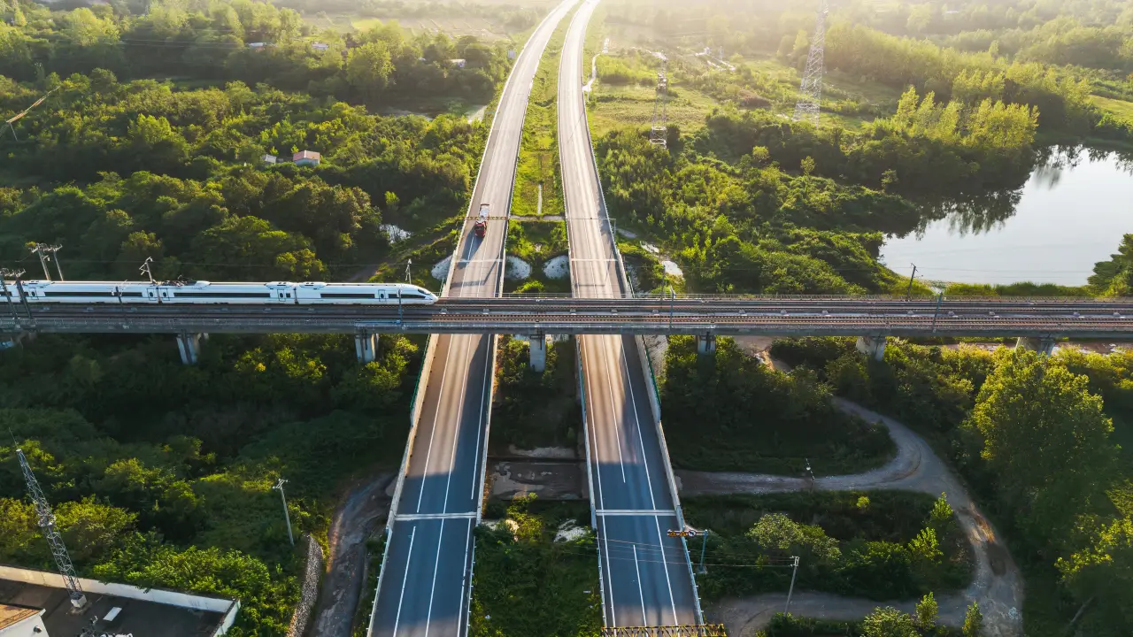
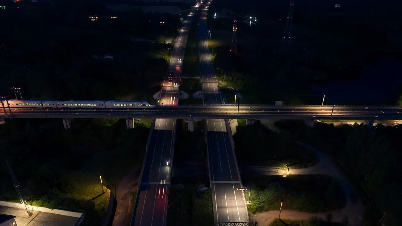
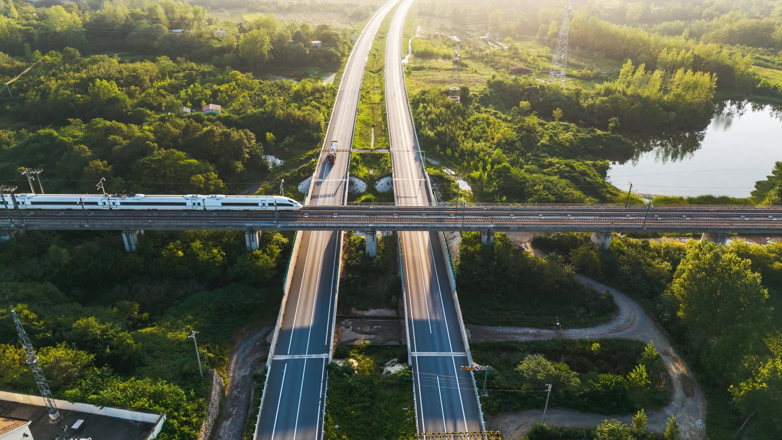
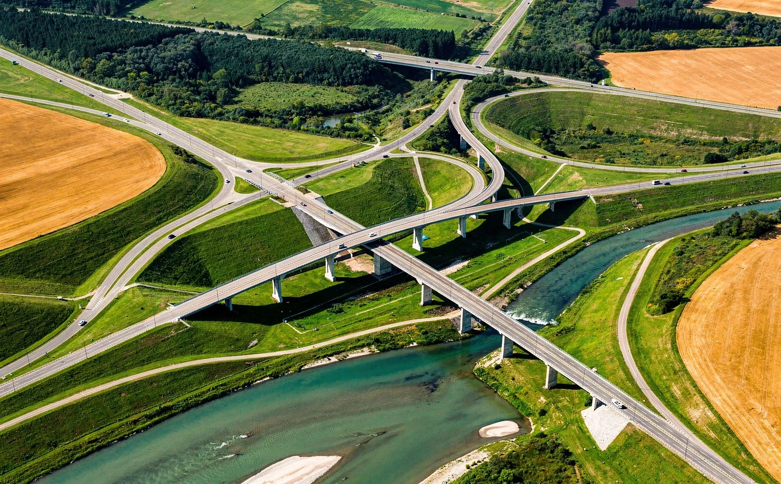
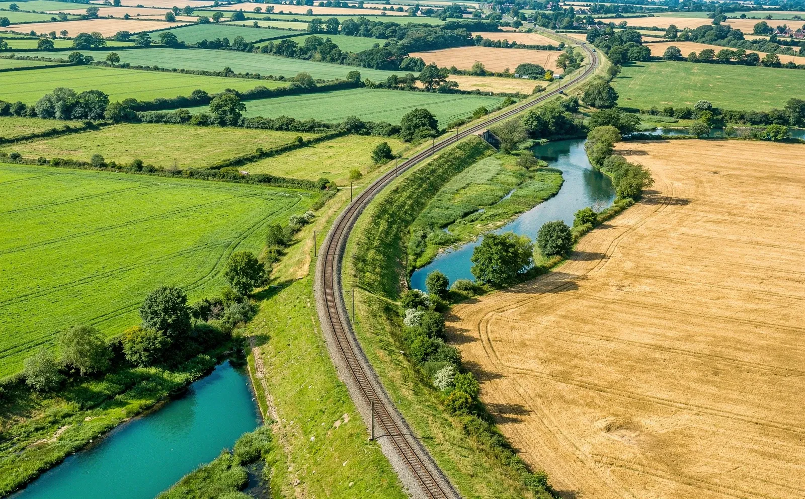
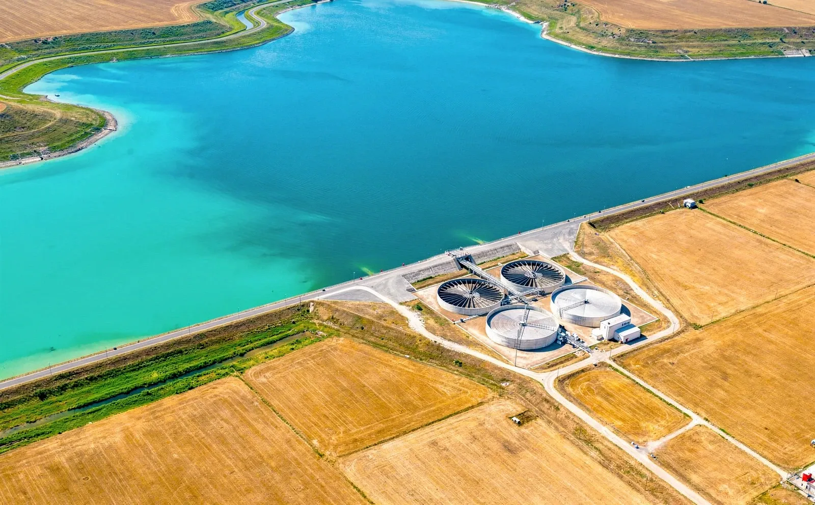
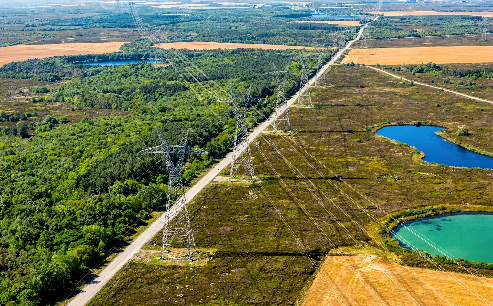
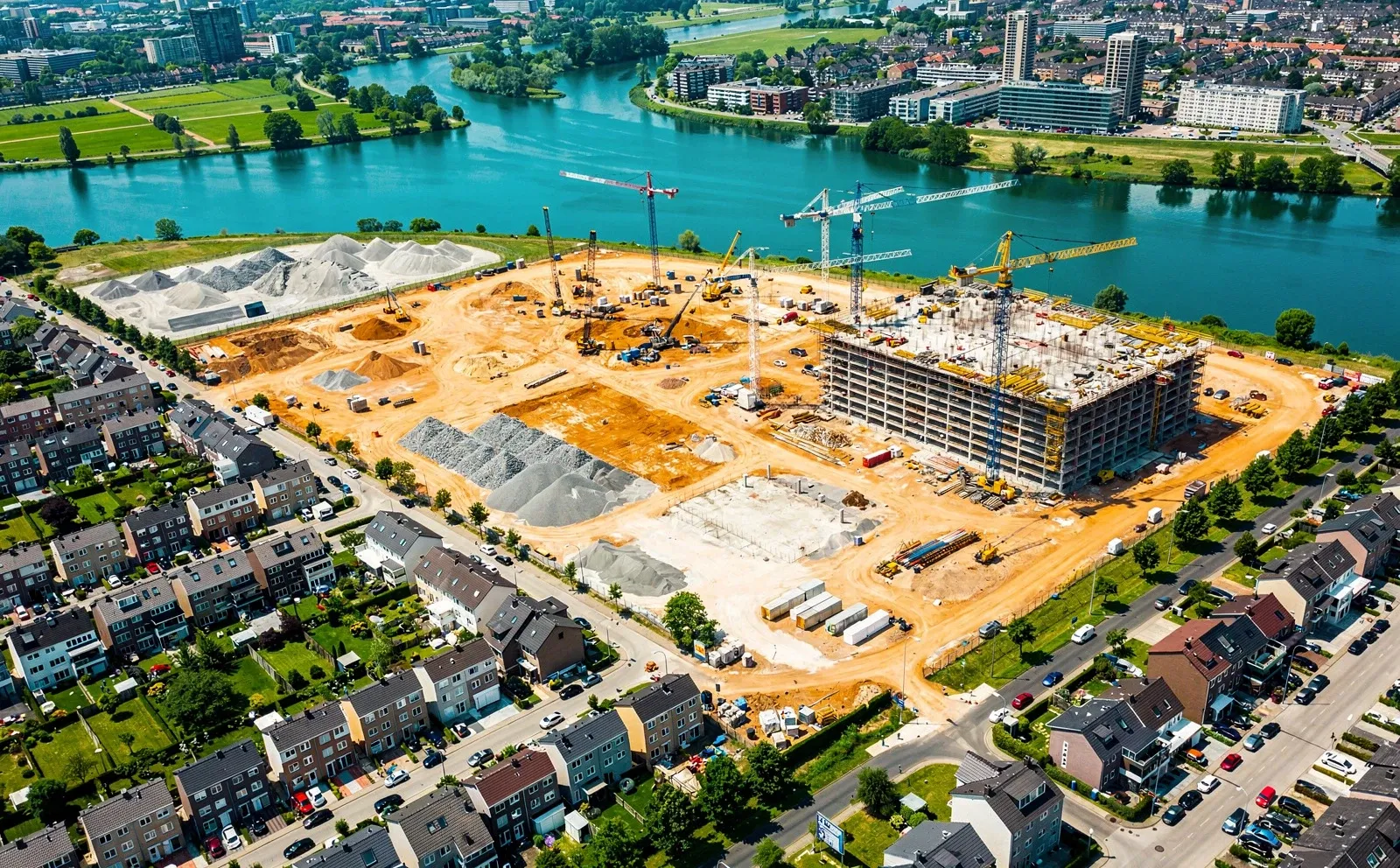
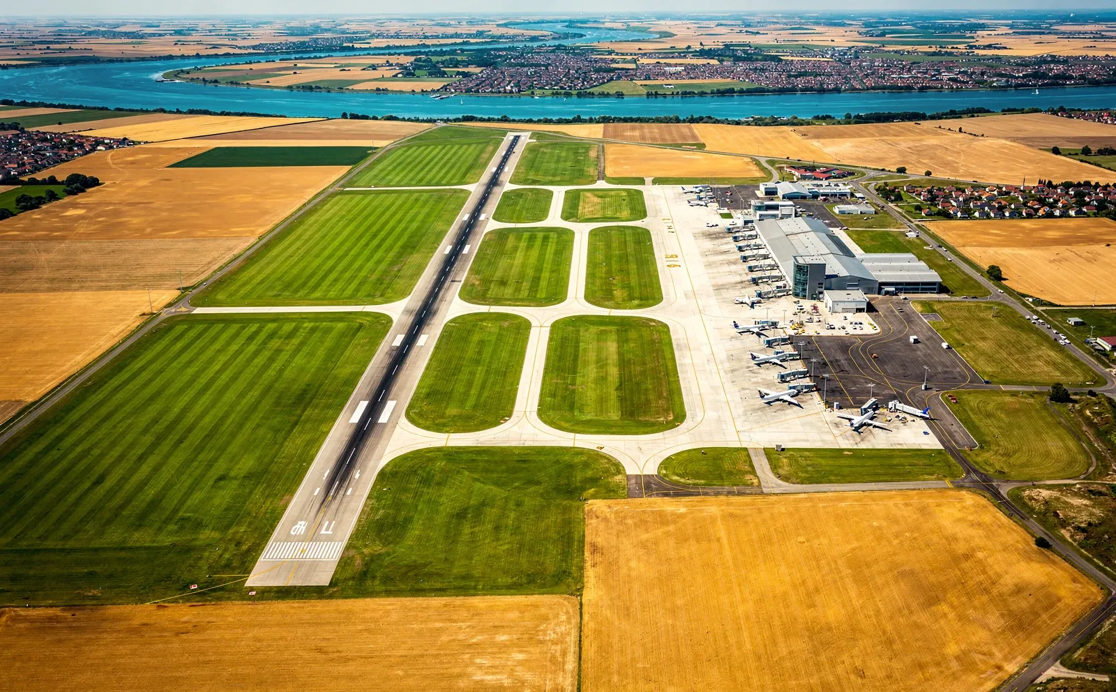
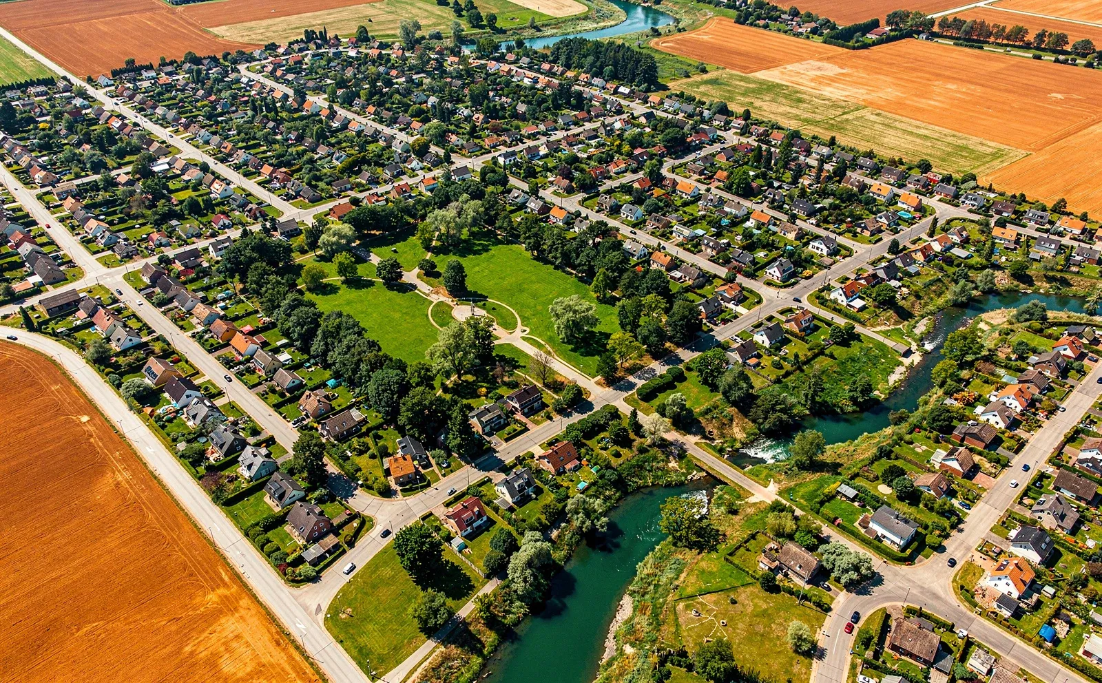
A high-speed train crossing a viaduct over a dual carriageway, with power lines and a lake
Closure risk · next 12 months
0.2% Range 0.1–0.3%
Priority 212 of 1,240 structures

Recommendation Defer works: no intervention needed this year. Re-measure after winter.

Deck movement · last 5 years 4 mm Within seasonal range
Tracking
  • Movement
  • Heat
  • Change
  • Surface
  • Vegetation

See clearly.

BKWAI turns in-situ and satellite data into clear action, risk values and financial impact. We empower the people who look after asset portfolios, roads, railways and networks to reduce risk, act early and improve profitability.

Seven industries, one theme

What changes are coming, what will the impact be and what should we do about them? We provide the answers to the most pressing issues, whatever the situation.

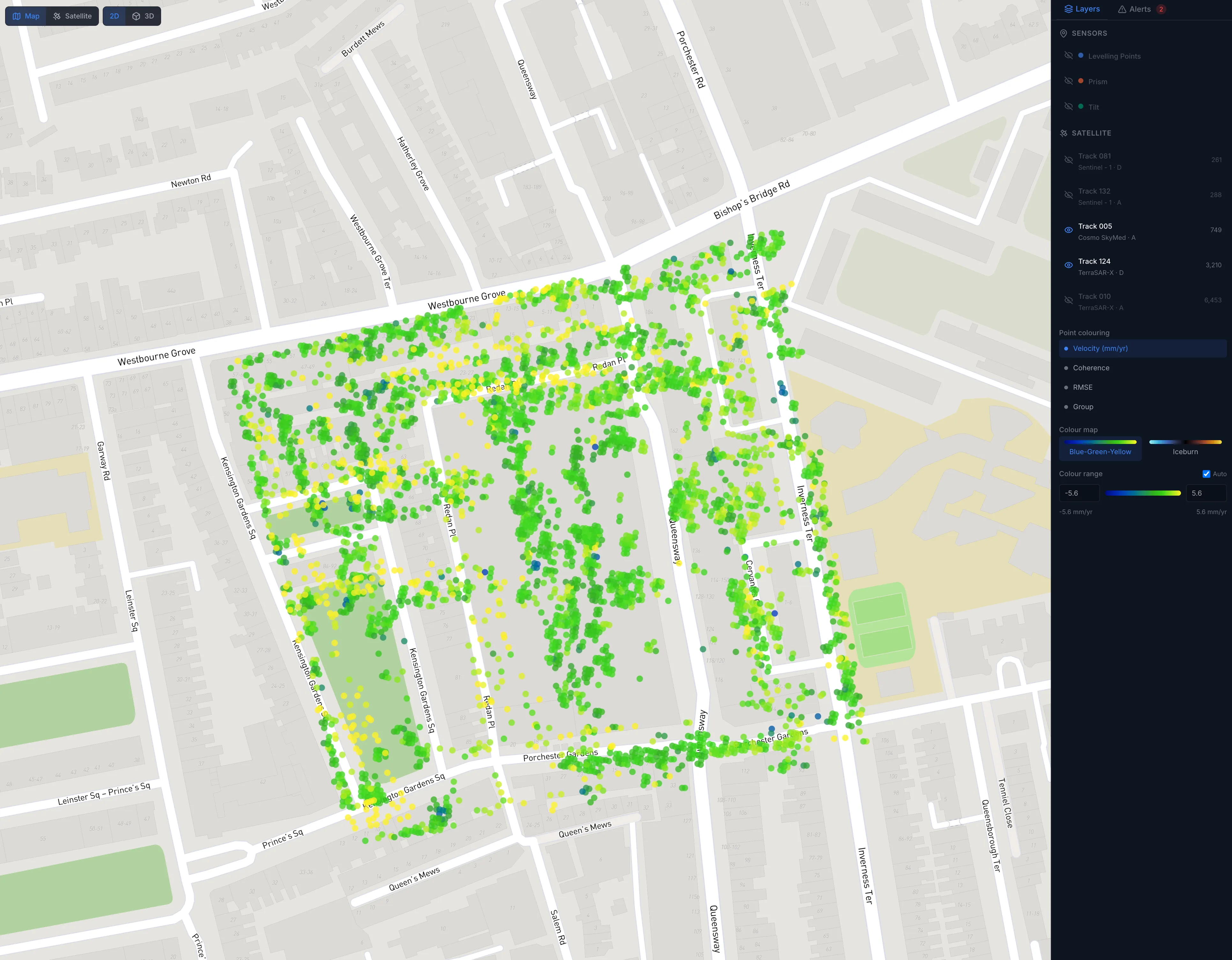
The BKWAI platform: measured ground movement mapped point by point
Answers, not data

The number you need, and what it means.

  1. 01

    Measure

    In-situ and satellite data, with historical context across the network.

  2. 02

    Interpret

    Separate anomalies and areas of concern from normal behaviour, with stated confidence.

  3. 03

    Act

    A ranked list of where to look, spend or intervene next.

Rigour
Honest about what we can measure, and clear about what we can't.

We started in research and still work that way. Every number comes with its uncertainty and its limits, so you can defend the decision it informs.

We complement inspection, instruments and surveys. We tell you where to point them.

What do you need
to see coming?

Talk to us